Collecting and analyzing data is a function found in many facets of today’s world and the study of the Earth and environment is no exception. In order to maintain its strong commitment to teaching, research and preparing future professionals, NIU’s department of Geology and Environmental Geosciences has partnered with Petroleum Experts, Ltd. this fall to utilize the full suite of Move software in their research and instructional activities.
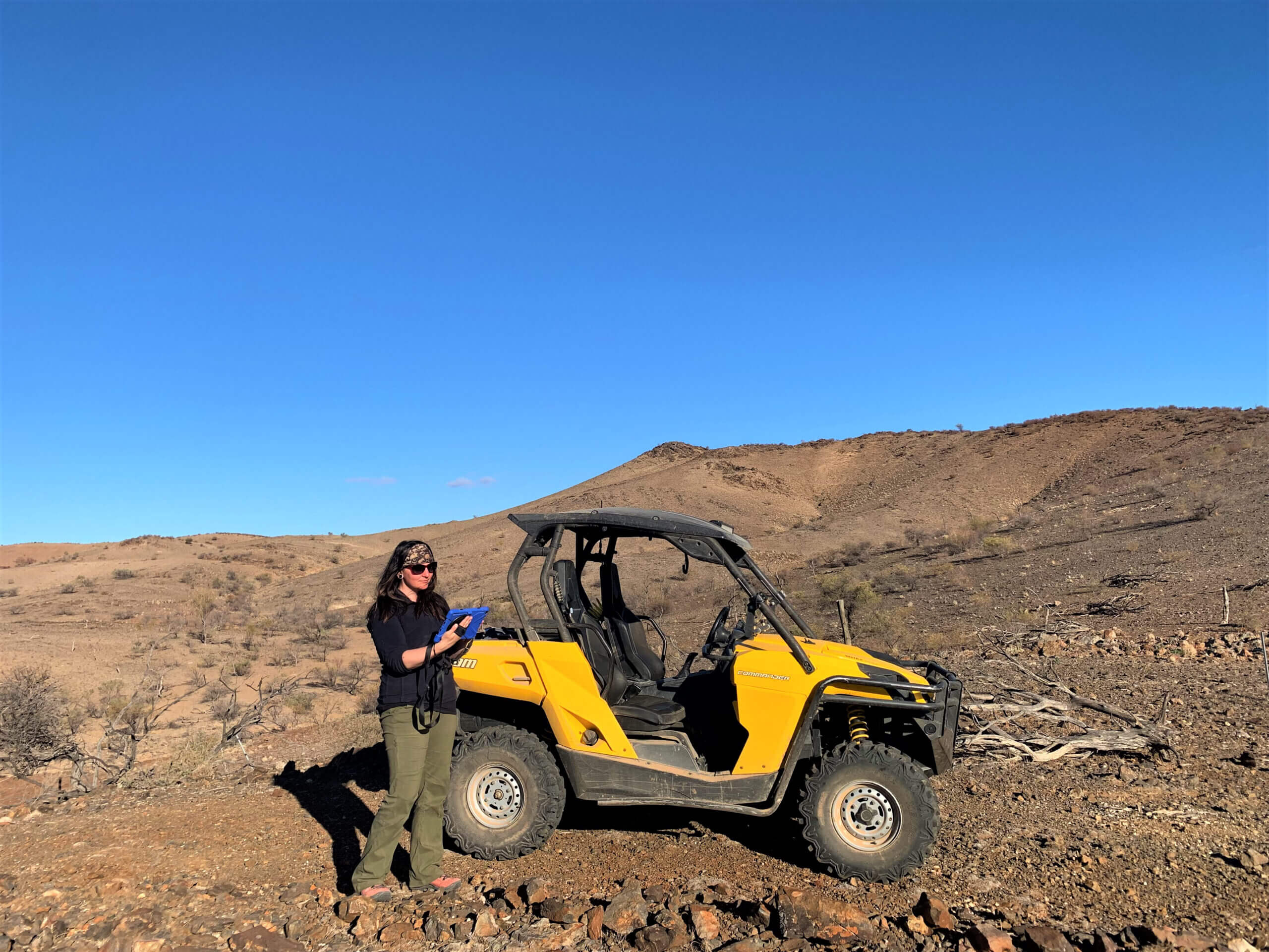
Grad student Lilly Lueck utilizes FieldMove during a recent Geology research trip to South Australia. The Move software suite allows students and faculty to use technology in the field to make high quality maps and then seamlessly transfer the map data to the desktop software, where they integrate it with other data sets and to build 3D models of the subsurface.
The software is designed by geoscientists working in close collaboration with software developers and enables scientists to create viable and admissible geological models. The Move suite provides a platform for integrating and interpreting data, cross-section construction; 3D model building; kinematic restoration and validation, fault and stress analysis as well as geomechanical, fracture and fault response modelling.
“The addition of the Move software suite provides our students and faculty state-of-the-art data analysis and modeling capabilities,” said Mark Fischer, professor and chair of NIU’s Department of Geology and Environmental Geosciences.
The software, utilized by faculty as well as graduate/undergraduate students majoring in Geology and Environmental Geosciences, is commonly used in a number of activities, including:
- Building 3D models of the subsurface of the Earth, which can be deconstructed to learn how the complex geometries of rock bodies develop over time.
- Modeling stresses in the Earth so that geoscientists can better understand the mechanics that led to the formation of structures like kilometer and larger scale faults and folds.
- Integrating surface field data with subsurface data, satellite imagery, and geophysical data like measurements of the Earth’s gravity and magnetic field. These integrated datasets help us constrain and build better models of the subsurface.
- Predicting where fractures might be found in the subsurface. The locations of these fractures can be very important when it comes to finding oil and gas, as well as mineral deposits and the locations where we might want to dispose of toxic or nuclear waste.
This software adds to the already large suite of laboratory, computer and field equipment maintained by the research-intensive department, whose faculty and students conduct research in locales such as Australia, Antarctica, the Baltics, Mexico, Myanmar, Central and South America as well as the United States.
“Our research requires accurate data analysis and modeling. This $2.237 M software donation is of great benefit to our students because they can learn cutting-edge data analysis and visualization techniques on industry-standard software. When they graduate, they are ready to make an immediate impact out in the field.”