Tag: maps
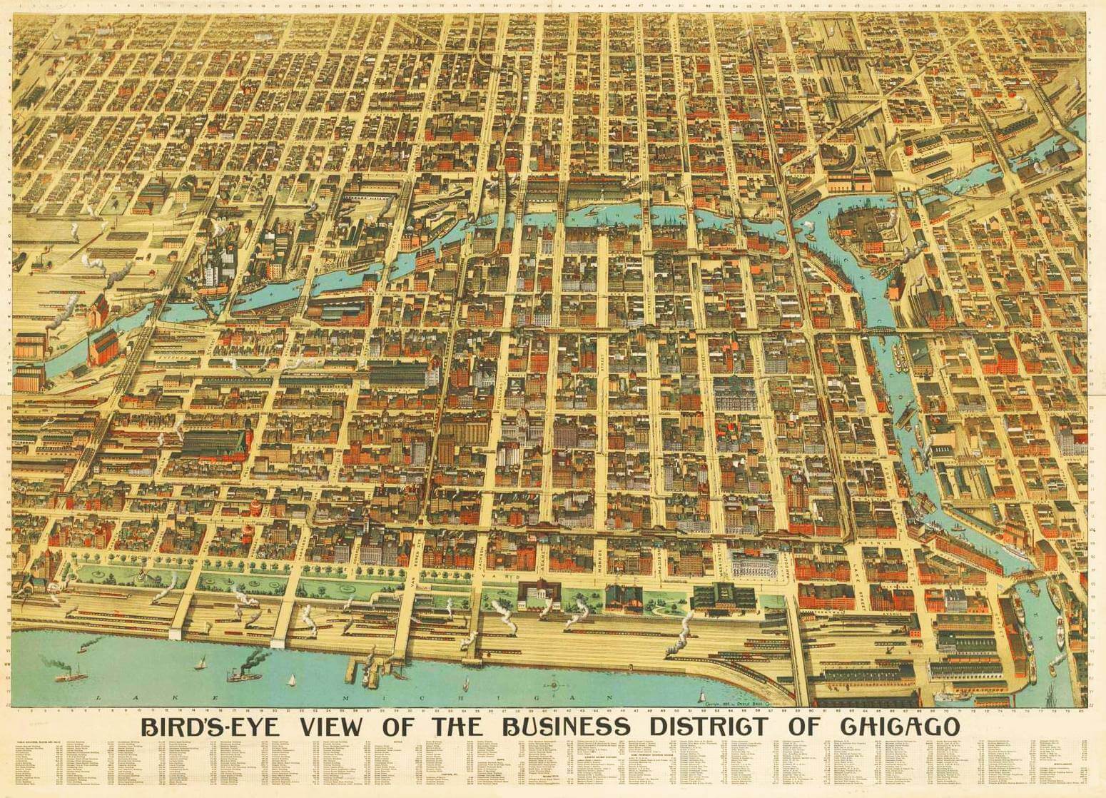
When we think of maps, we often think of the transportation variety, but maps can tell us much more than how to travel from one destination to the next. Maps hold incredible amounts of informational power and are often used in a wide variety of ways to conduct research. Today maps help identify humanitarian needs,...
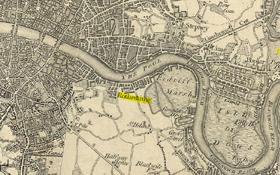
Art historian Pamela M. Fletcher, chair of the Department of Art and co-director of the Digital and Computational Studies Initiative at Bowdoin College, will speak Monday, March 2, at NIU. Fletcher will discuss “Mapping the Commercial Gallery System in Nineteenth-Century London; or, The Promise and Perils of Digital Art History” at 5 p.m. in Room...
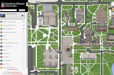
Going somewhere? NIU’s new three-dimensional interactive campus map enables online navigation of the NIU campus anytime from virtually anywhere. Deployment of the interactive map this morning is only the latest component of a campus-wide strategy to make navigation of the NIU campus as user-friendly as possible. “The 3-D interactive map, along with the directional signage that was...
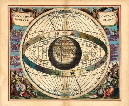
The Northern Illinois University Art Museum and NIU Museum Studies students enrolled in ART 656 will host an informative talk by Gerald “Jerry” Brauer, a local expert on ancient maps. Brauer will present “Art a la carte: Decorative Imagery in Maps, 1500-1800” from 7:15 to 8 p.m. Thursday, April 18 in Altgeld Hall 315. This...
As part of the Northern Illinois University Art Museum’s upcoming Mapping Exhibition Suite, “MAPPING: Measuring Across Place and Period; Information, Navigation and Geography” features the evolution of maps as both tools for navigation and beautiful works of art. This exhibition will be curated by NIU Museum Studies students enrolled in ART 656 and will be...